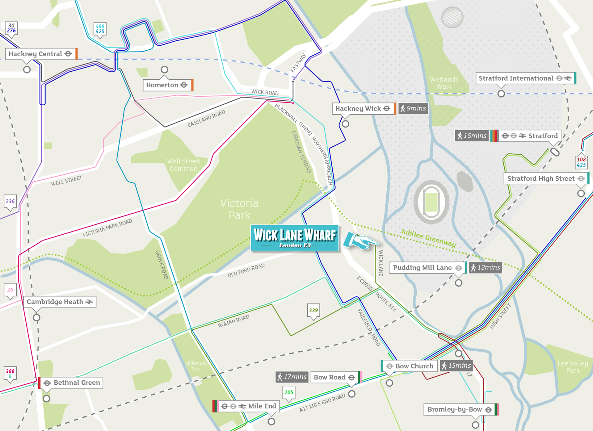
Local area map showing bus routes and rail connections near the Wick Lane Wharf residential development in East London.
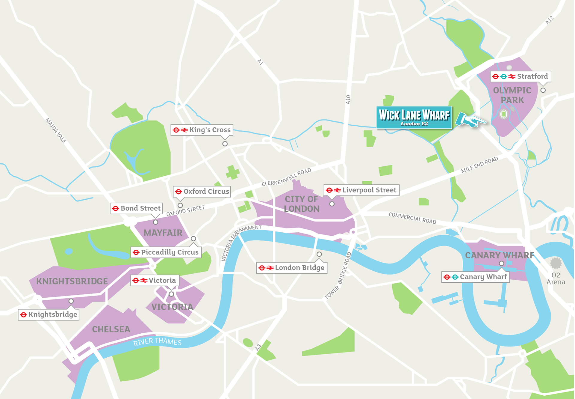
Overview map showing districts & transport significant to the development
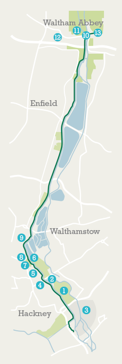
Map showing local cycle route and points of interest.